 Complex terrain, dense vegetation, and large areas make traditional surveying and engineering work more challenging. In such environments, a single method of spatial data collection may not be sufficient: some areas are clearly visible from the air, while others require ground-based scanning.
Combining aerial LiDAR scanning with ground-based SLAM systems makes it possible to build a comprehensive spatial dataset — from terrain and vegetation to infrastructure assets. This creates a foundation for topographic mapping, engineering analysis, land planning, and further work in GIS environments.
A Combined Approach to Spatial Data Collection
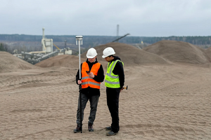
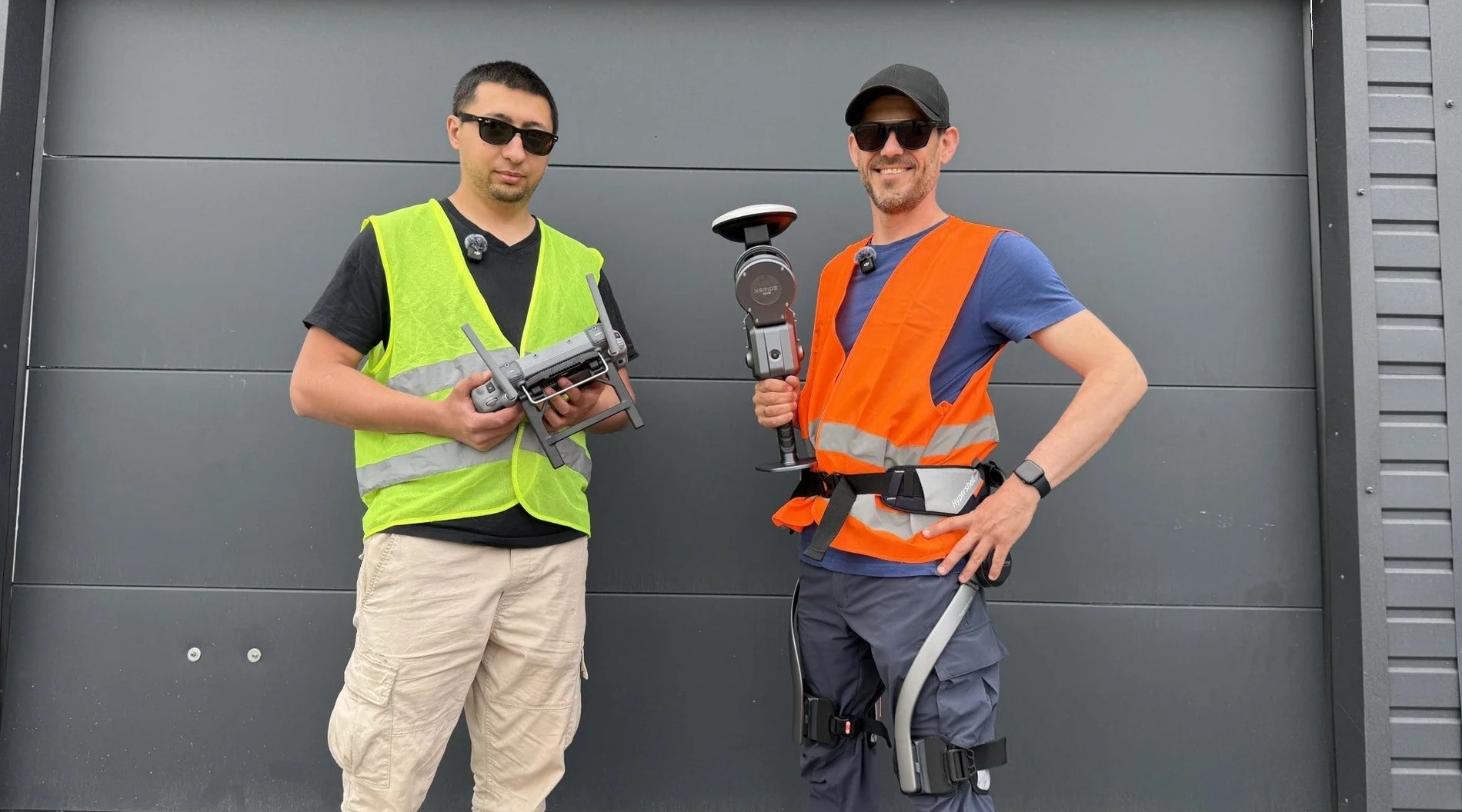
To create a topographic plan of a forested area, the workflow combines an unmanned platform equipped with LiDAR and RTK/IMU systems with a handheld ground-based LiDAR scanner.
This approach allows tasks to be distributed between two types of equipment: the drone quickly covers large areas and collects data on terrain, vegetation, and exposed objects, while the ground scanner complements the model in areas where aerial surveying has limitations.
The workflow includes:
- Preparation and georeferencing — establishing control points to verify data accuracy.
- Aerial LiDAR scanning — collecting spatial data on terrain, vegetation, and site features.
- Ground-based scanning — capturing detailed data from hard-to-reach areas, narrow passages, and densely vegetated sections.
- Data synchronization — aligning GNSS/IMU and scanning data to create a unified spatial dataset.
Data Processing in Pix4Dmatic
The collected data is processed in Pix4Dmatic — professional software for photogrammetry and handling large geospatial datasets.
The workflow includes:
- data import and alignment;
- georeferencing and coordinate verification;
- point cloud generation and processing;
- spatial object classification;
- noise removal;
- preparation of a digital terrain model and orthomosaic.
As a result, field data is transformed into a structured digital dataset that can be used for further analysis and design.
What Integrating LiDAR and Ground Scanning Provides
The main advantage of the combined approach is the ability to create a comprehensive digital model of a site while compensating for the limitations of individual surveying methods.
The resulting 3D point cloud can contain data on:
- natural terrain;
- vegetation;
- buildings and structures;
- engineering assets;
- power lines;
- other site features.
Based on this data, digital terrain models, orthomosaics, and other geospatial materials can be created for use in GIS systems and engineering projects.
For designers and engineers, this means working with a complete digital model of the site rather than relying on individual measurements.
Applications
Comprehensive LiDAR scanning can be useful across a wide range of applications where accurate spatial data is required for large or complex areas.
- Topographic mapping
Combining aerial and ground-based data makes it possible to create topographic materials for forested areas and sites with complex terrain.
- Engineering design
3D models and digital terrain models can be used to plan roads, industrial sites, technical infrastructure, and other facilities.
- Site monitoring
Repeated scanning makes it possible to track changes in terrain, development, vegetation, and other site features over time.
- Forest analysis
LiDAR data can be used to determine the number and spatial distribution of trees, as well as assess their parameters. This provides a foundation for inventory, forest management planning, and risk assessment, including in areas near power lines.
- GIS and land management
The resulting spatial data can be integrated into GIS environments for further analysis, planning, and technical documentation.
From Data Collection to a Digital Site Model
The integration of aerial LiDAR, ground-based SLAM scanning, and professional software is changing the approach to field surveying. Instead of separate measurements and extensive manual processing, it creates a unified digital workflow — from spatial data collection to a finished digital model of the site.
This is particularly important for large, complex, or partially inaccessible areas where both broad coverage and detailed data from specific zones are required.
Pix4D in the Robotics Distribution Portfolio
Pix4D is part of the product portfolio of Robotics Distribution — one of Ukraine’s Top 10 IT distributors, which is part of the DroneUA group of companies.
Robotics Distribution develops the professional geospatial technology segment and helps partners integrate Pix4D solutions into mapping, photogrammetry, 3D modeling, and engineering analysis workflows.
For professional users, the value of this approach lies not only in an individual software product or piece of equipment, but also in the ability to build a comprehensive technology workflow tailored to a specific task — from data collection and processing to its use in further operations.
Robotics Distribution is developing its partner network and creating opportunities for businesses interested in implementing and distributing advanced technology solutions. If you work in surveying, mapping, construction, GIS, engineering design, or land management, contact the Robotics Distribution team to learn more about available partnership models.
Fill out the partner form:
https://docs.google.com/forms/d/e/1FAIpQLSedx1T87kvREM1IKtaH7eNfKbtpJlxltc07WyzZNwZ5IjFujQ/viewform
Learn more about Pix4D in the video case study: