 Surveying operations at industrial sites require more than precision measurement equipment. They also depend on reliable digital tools that enable specialists to access and work with data directly in the field. This is particularly important in quarry environments, where dust, moisture, uneven terrain, and intensive equipment use place additional demands on technology.
RugOne rugged smartphones offer a practical solution for these conditions. The RugOne Xever 7 Pro was used during a comprehensive surveying project at a granite quarry, demonstrating how rugged mobile technology can support field operations.
The project combined ground-based measurements, aerial surveying, and photogrammetric data processing to obtain up-to-date information about the site, material volumes, and stockpile conditions.
Surveying at a Granite Quarry: Project Objectives and Field Conditions
For mining and quarrying companies, regularly monitoring material reserves, extraction volumes, and changes in terrain is an essential part of operational planning.
These surveys require a comprehensive approach, including establishing control points, collecting geospatial data, generating digital terrain models, and analyzing the results.
Field conditions also place specific demands on mobile equipment. Constant exposure to dust, dirt, and moisture, movement across uneven quarry terrain, and the need for immediate access to digital information can make conventional consumer devices less suitable.
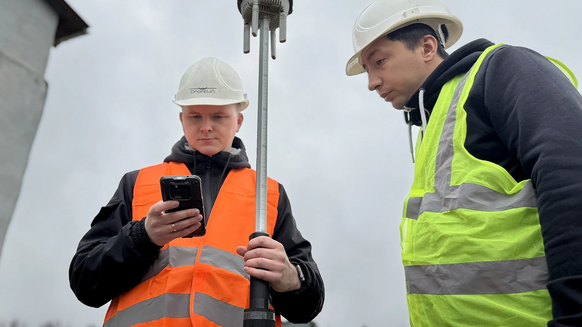
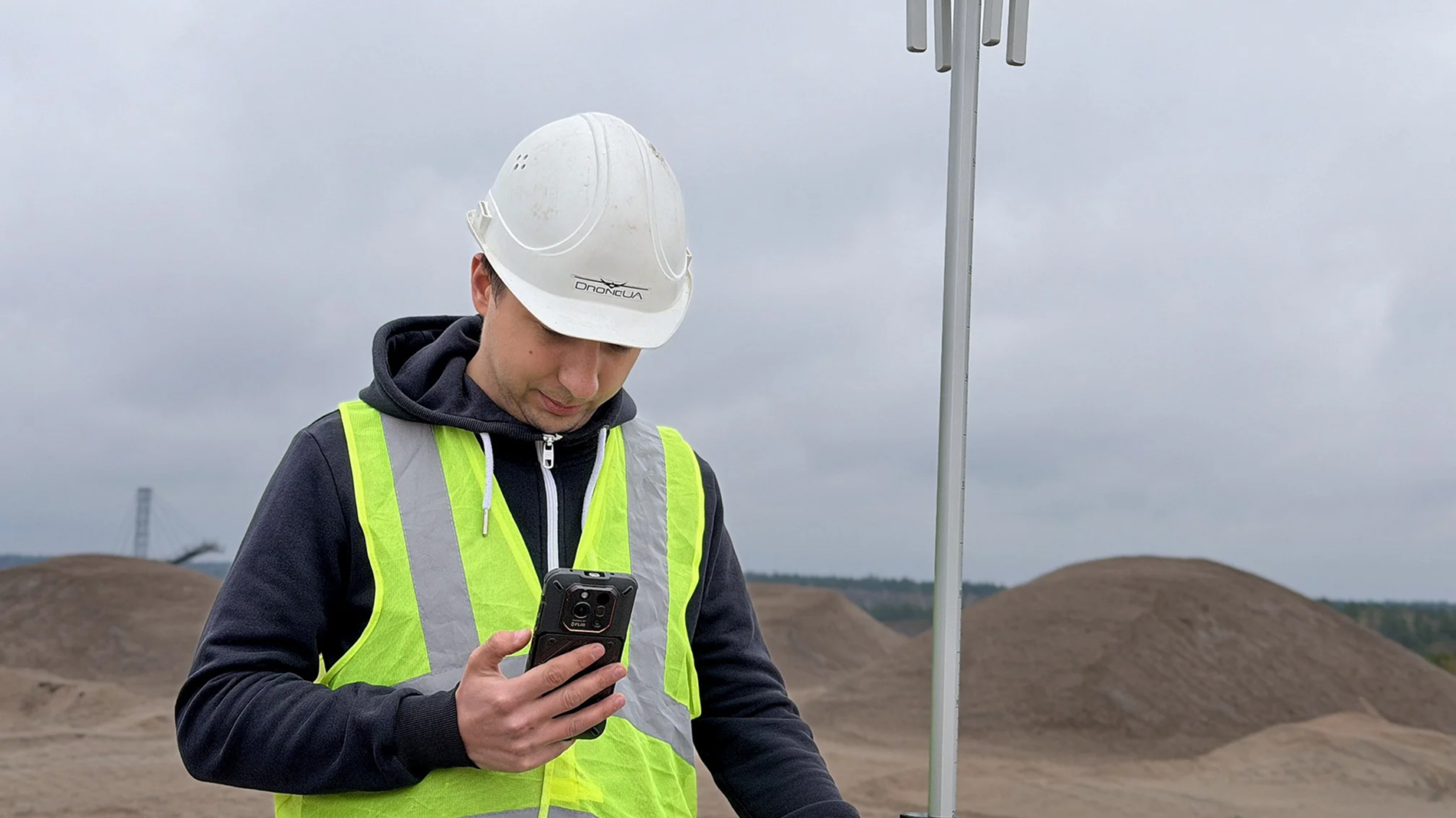
For this reason, the surveying specialists involved in the project used the RugOne Xever 7 Pro rugged smartphone as one of the mobile tools supporting their fieldwork.
 Survey Workflow: From Field Measurements to a Digital Terrain Model
The surveying project involved several consecutive stages using specialized equipment and software.
1. Establishing a Survey Control Network
Temporary survey control points were established and marked throughout the quarry. GNSS receivers were used to determine their coordinates, providing the reference framework required for subsequent georeferencing of the spatial data.
2. Aerial Surveying
The next stage involved collecting aerial imagery using an unmanned aerial vehicle (UAV). The images were subsequently used for photogrammetric processing and digital terrain reconstruction.
3. Data Processing in Pix4Dmatic
The aerial images were processed using Pix4Dmatic software. The workflow included image alignment and point cloud generation, providing the foundation for further site analysis.
4. Georeferencing Verification
The accuracy of the spatial positioning was checked against survey control points. This step is important for subsequent calculations of excavated material volumes and assessments of available material reserves.
5. Generating Digital Geospatial Deliverables
The survey measurements and processed data were used to generate a digital terrain model and an orthophoto map. These deliverables enabled the team to analyze material volumes and changes in quarry stockpiles.
All stages of the project were completed within a single day.
RugOne Xever 7 Pro: The Role of a Rugged Smartphone in Field Operations
During surveying projects, mobile devices serve as supporting digital tools, allowing field teams to access information and work directly on-site.
In this context, the RugOne Xever 7 Pro represents a category of rugged smartphones designed for environments where conventional mobile devices may be exposed to demanding external conditions.
Its practical value for professional use lies in several key areas:
- Durability in demanding environments. The smartphone's rugged construction makes it suitable for work in areas with significant exposure to dust, dirt, and moisture.
- Mobile access to digital information. The device can be used to review project materials and interact with digital tools directly in the field.
- Convenience when moving around a site. A portable device is valuable for specialists who regularly move between survey control points and different areas of a project site.
- Integration into broader workflows. A rugged smartphone can complement specialized surveying systems and software tools used during field investigations.
Importantly, surveying accuracy depends on specialized measurement equipment, appropriate survey methods, and data processing. RugOne's role is to support mobile workflows in challenging industrial environments rather than replace professional surveying instruments.

 Project Results and Practical Value for Businesses
The combined use of GNSS receivers, UAV-based surveying, Pix4Dmatic software, and the RugOne Xever 7 Pro rugged smartphone enabled the team to complete all planned survey activities within one day.
This project highlights the value of integrating mobile technologies into professional field workflows, where measurement accuracy, access to information, and equipment reliability are equally important.
For mining and quarrying companies, this approach provides a foundation for regular material inventory assessments, monitoring changes across operational sites, and preparing data for production planning.
For surveying companies, the practical use of rugged mobile devices demonstrates how specialized measurement equipment can be complemented by digital tools designed for demanding field conditions.
Opportunities for RugOne in Professional Markets
The granite quarry project demonstrates the relevance of rugged smartphones for professionals who work outside conventional office environments and regularly operate in demanding industrial settings.
Beyond surveying and mapping, these devices may be of interest to mining companies, construction firms, energy providers, engineering and technical maintenance teams, and field monitoring specialists.
For enterprise customers, rugged smartphones can become part of the standard equipment provided to mobile teams that require reliable access to digital tools in challenging working conditions.
For dealers, specialist equipment retailers, and system integrators, the rugged smartphone category offers opportunities to expand their portfolios with solutions tailored to professional users.
A key advantage in this segment is the ability to offer equipment that matches specific customer requirements, ranging from surveying projects to industrial inspection and maintenance operations.
Robotics Distribution: RugOne Smartphones for Ukraine's Professional Market
Robotics Distribution is the exclusive distributor of RugOne in Ukraine, ranks among the country's top 10 IT distributors, and is part of the DroneUA Group of Companies.
The company is expanding its rugged mobile device portfolio, providing Ukrainian partners with access to RugOne solutions for both consumer and professional applications.
Robotics Distribution welcomes partnerships with retailers, online stores, specialist equipment suppliers, and system integrators interested in expanding their RugOne rugged smartphone business.
Apply to become a dealer and receive tailored partnership terms from the Robotics Distribution team: https://docs.google.com/forms/d/e/1FAIpQLSedx1T87kvREM1IKtaH7eNfKbtpJlxltc07WyzZNwZ5IjFujQ/viewform
Watch the full video case study: